Log in
All resources
Create a design
1,095,938 Free Images of Maps Of Carniola
atlas de wit 1698
frederick de wit
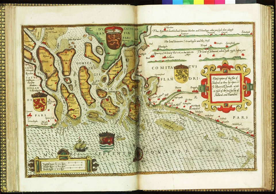
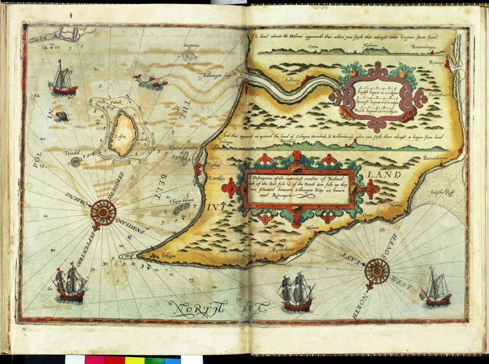
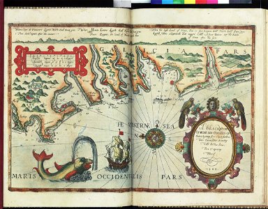
lucas janszoon waghenaer
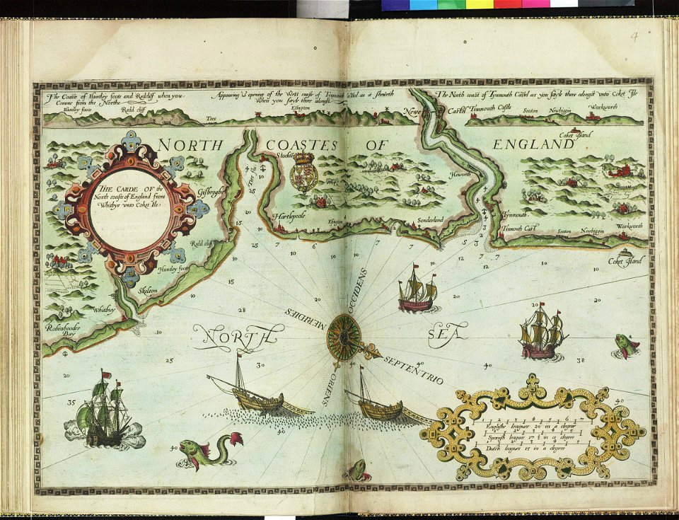
charts and maps of the royal museums greenwich
bibliothèque municipale de reims
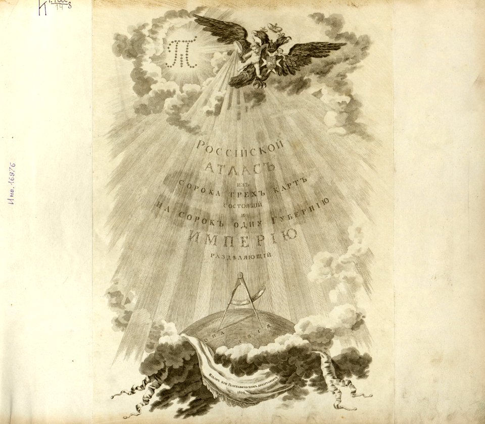
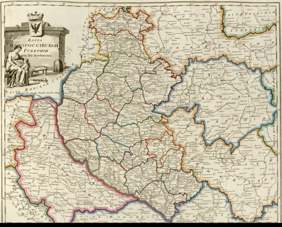
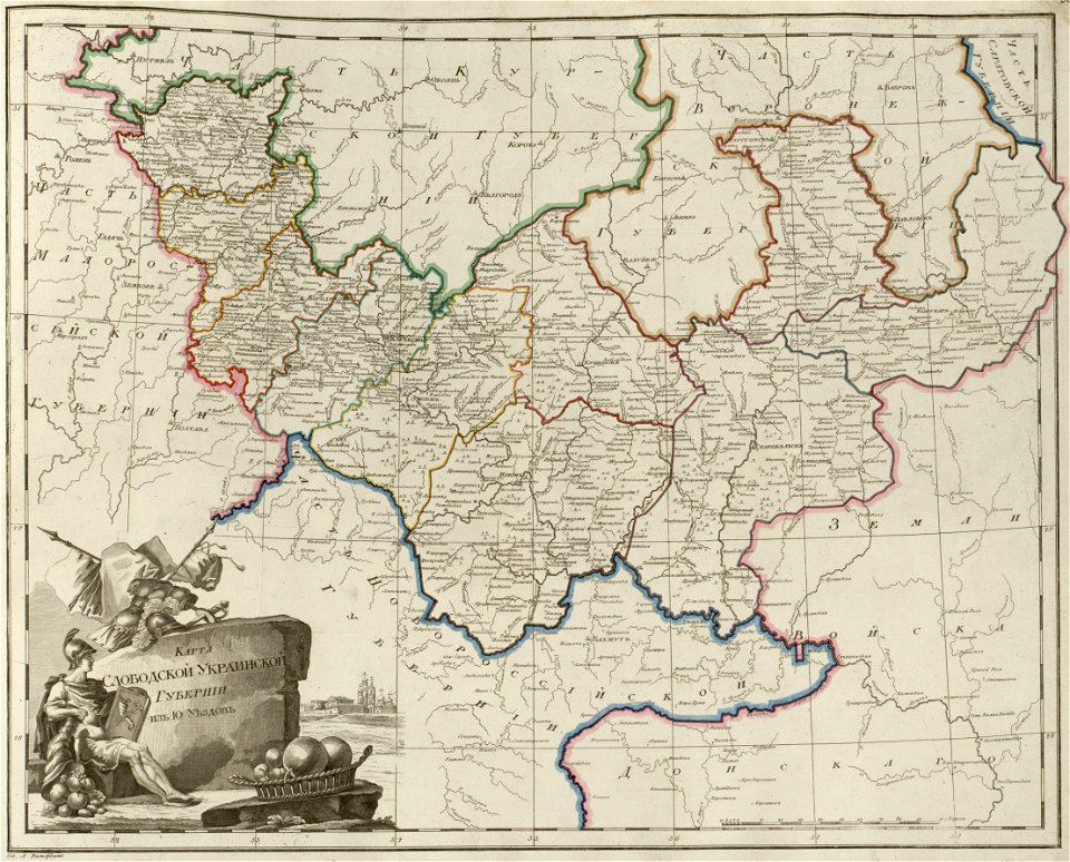
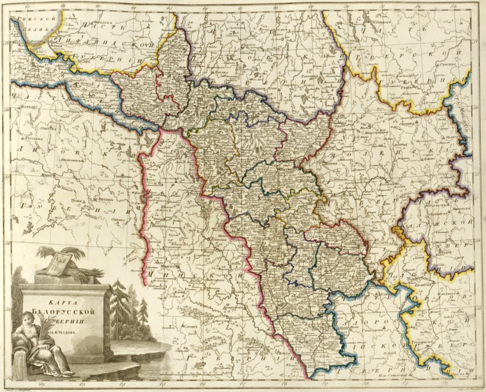
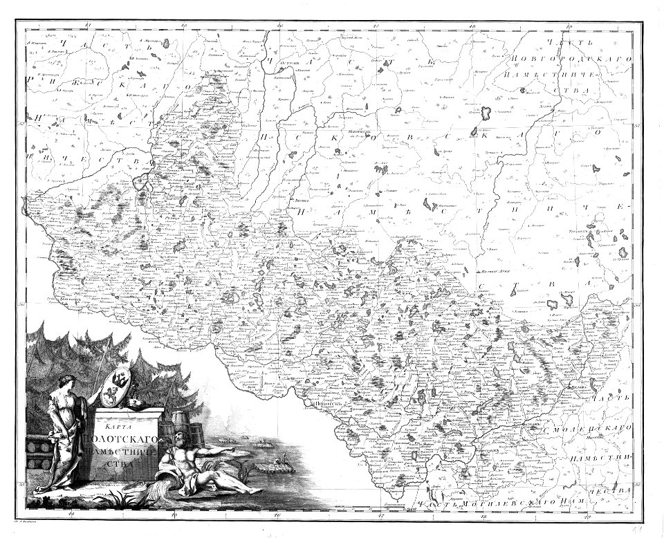
old maps of governorates of the russian empire
atlas of the russian empire (1800)
oil on canvas
1552
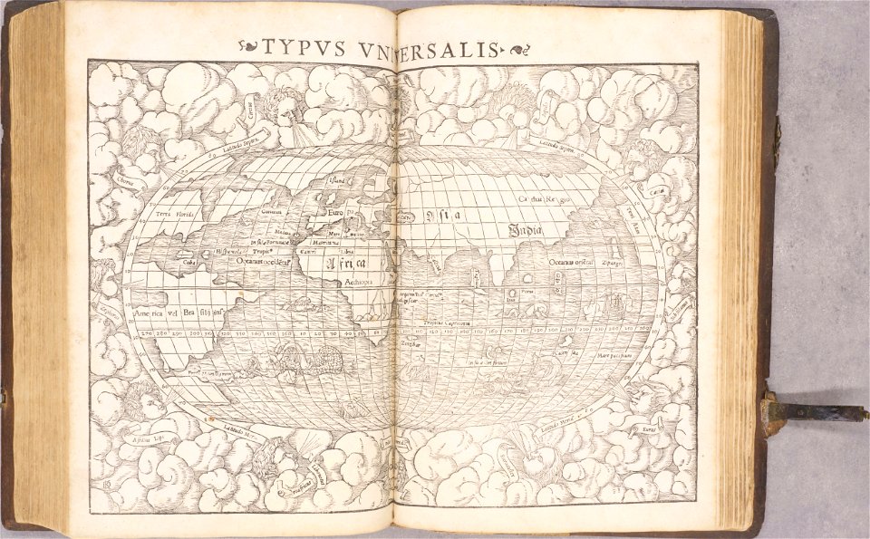
geographiae claudii ptolemaei alexandrini (münster
atlas de wit 1698
frederick de wit
atlas de wit 1698
frederick de wit
atlas de wit 1698
frederick de wit
atlas de wit 1698
frederick de wit
atlas de wit 1698
frederick de wit
atlas de wit 1698
frederick de wit
atlas de wit 1698
frederick de wit
atlas de wit 1698
frederick de wit
old maps of breda
frederick de wit
old maps of coevorden
frederick de wit
atlas de wit 1698
frederick de wit
atlas de wit 1698
frederick de wit
atlas de wit 1698
frederick de wit
il devotissimo viaggio di gerusalemme fatto
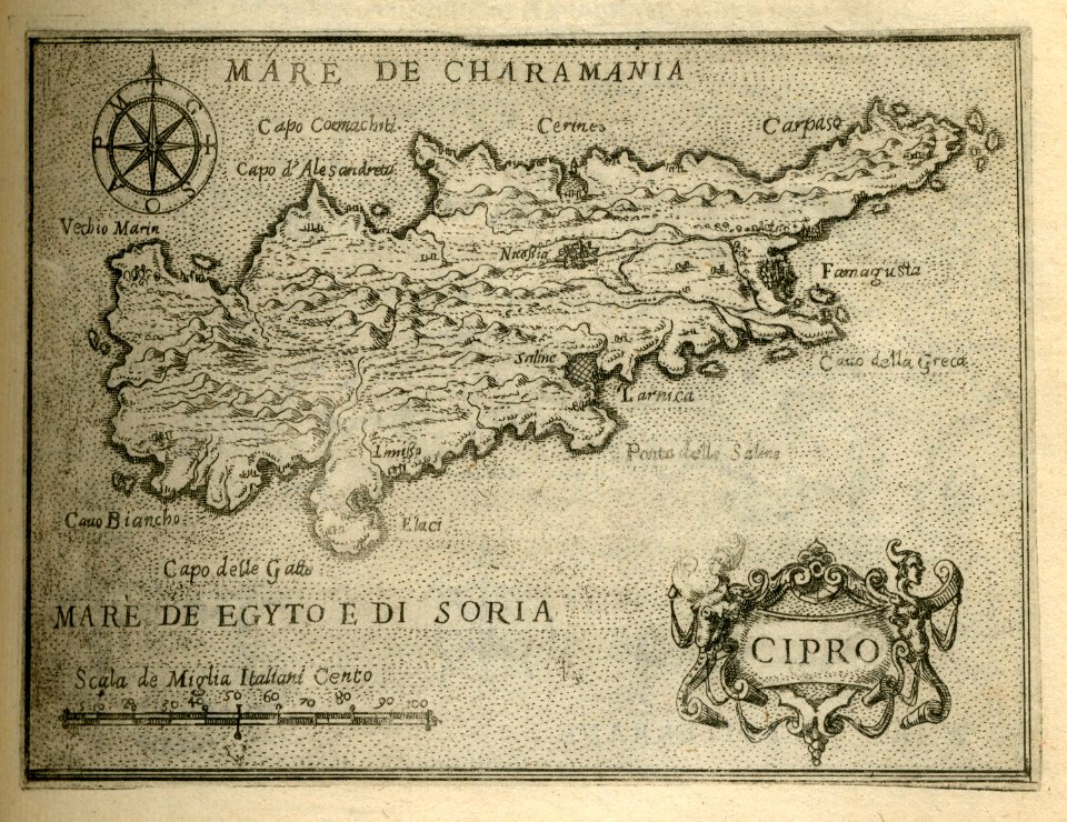
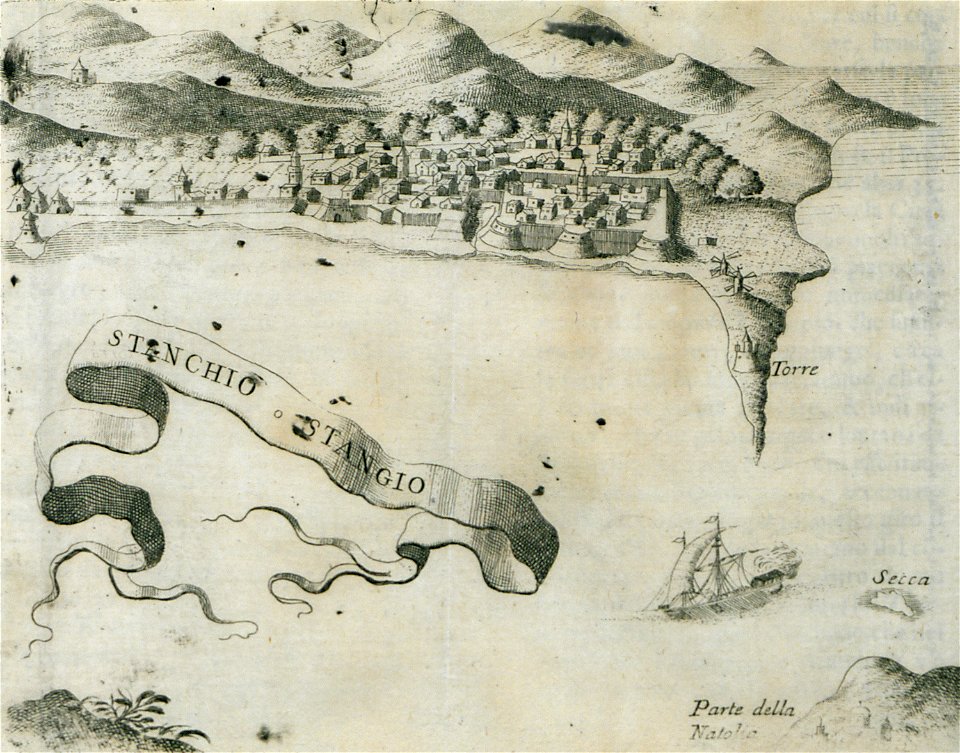
16th-century maps of cyprus
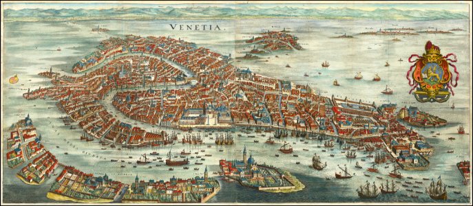
old maps of venice
matthäus merian
16th-century maps of maastricht
maastricht in the 1560s
atlante veneto (raremaps.com) volume 1
old maps of the pacific ocean
atlante veneto (raremaps.com) volume 1
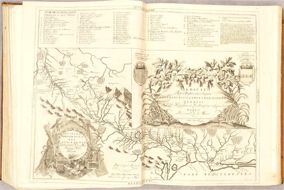
maps of the canal du midi
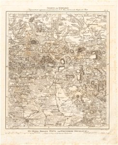
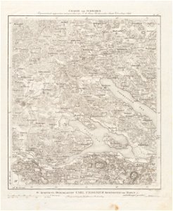
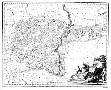
19th-century maps of bavaria
nördlinger ries
old maps of lake constance
reichenau island
old maps of münster (westfalen)
caspar merian
bibliothèque municipale de reims
rès. g 152
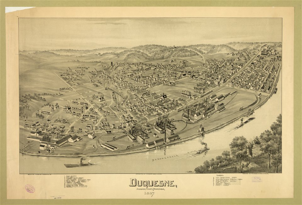
pennsylvania
duquesne
old maps of the americas
1552
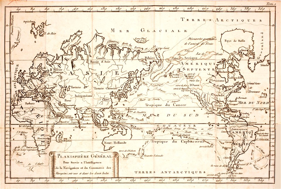
1550s maps of the world
1552
old maps of baden-württemberg
1552
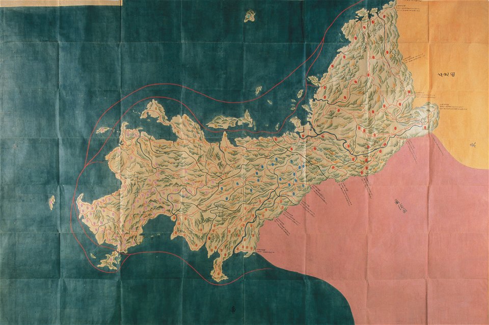
nagato province
genroku kuniezu
geographical illustrations by coronelli
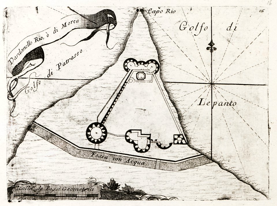
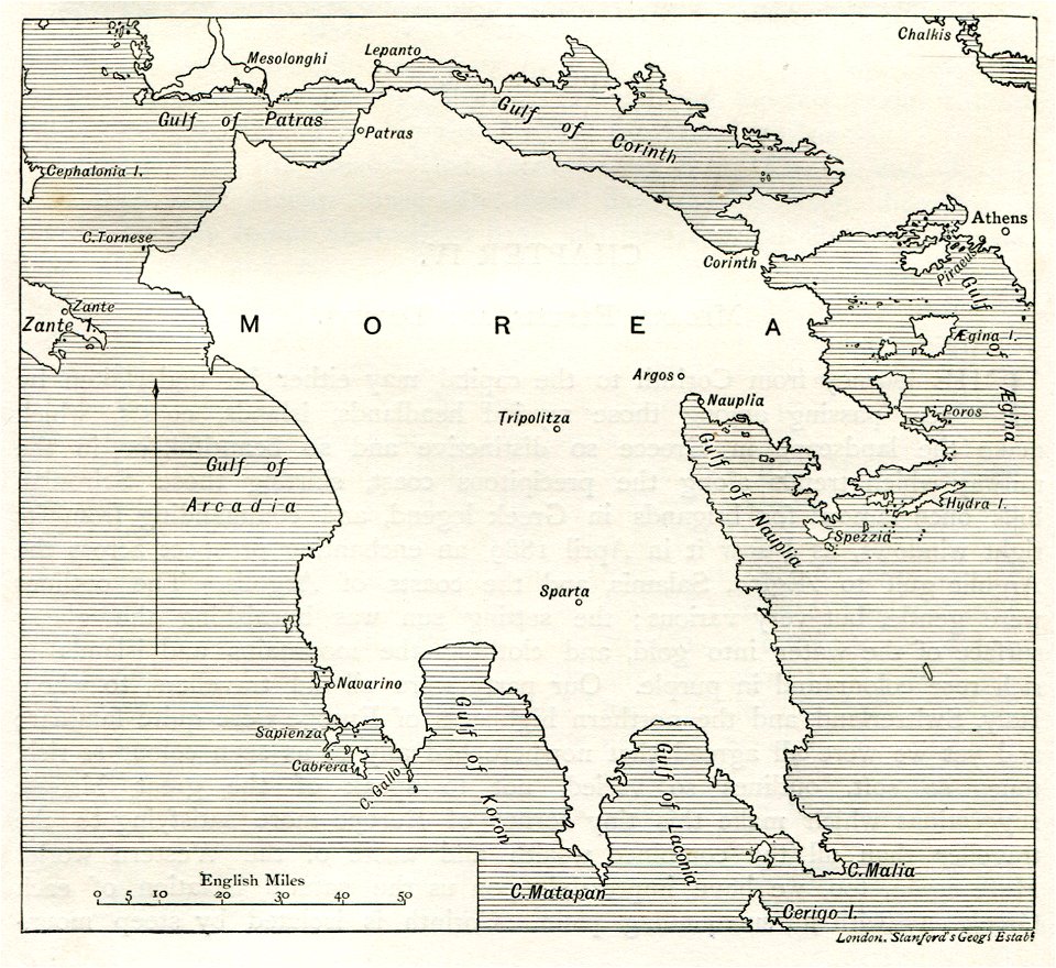
old maps of the peloponnese
west-indische compagnie
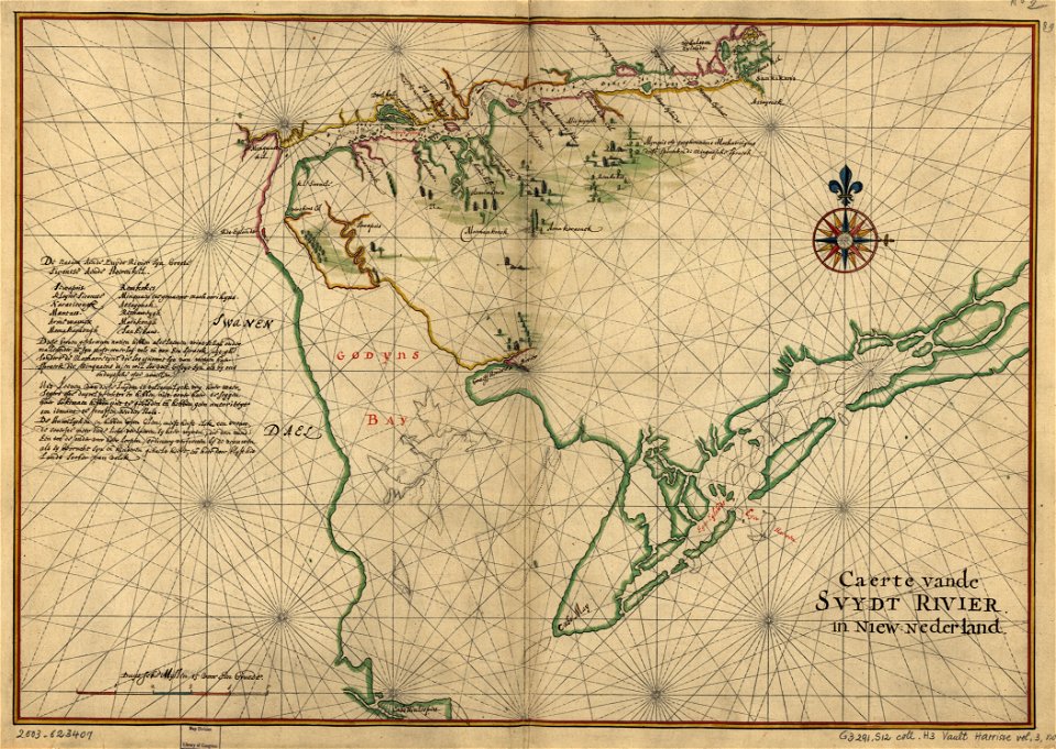
old maps of delaware
charts and maps of the royal museums greenwich
lucas janszoon waghenaer
charts and maps of the royal museums greenwich
lucas janszoon waghenaer
charts and maps of the royal museums greenwich
lucas janszoon waghenaer
liber insularum archipelagi (royal museums greenwich)
gelibolu
asia and africa
1813 maps
bibliothèque municipale de reims
rès. g 153
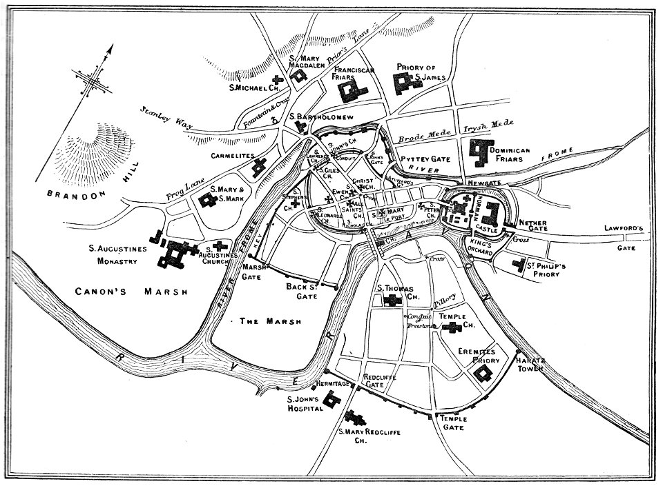
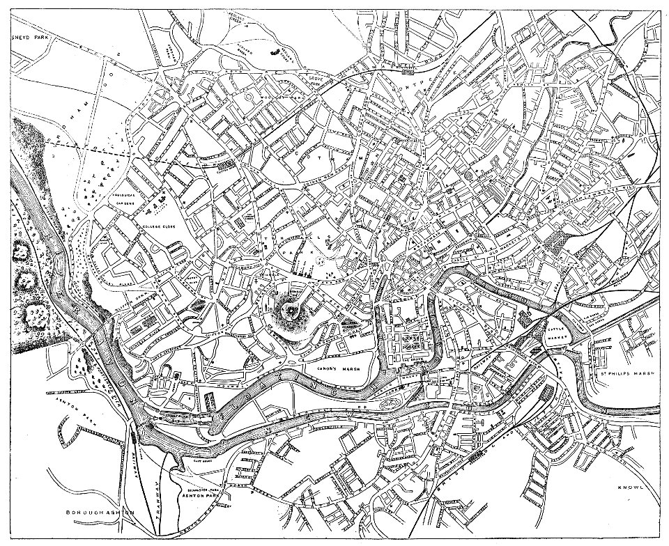
images from bristol past and present (1882)
old maps of bristol
images from bristol past and present (1882)
old maps of bristol
bibliothèque municipale de reims
rès. g 152
description de l'universe
alain manesson-mallet
cosmographia (1600) by sebastian münster
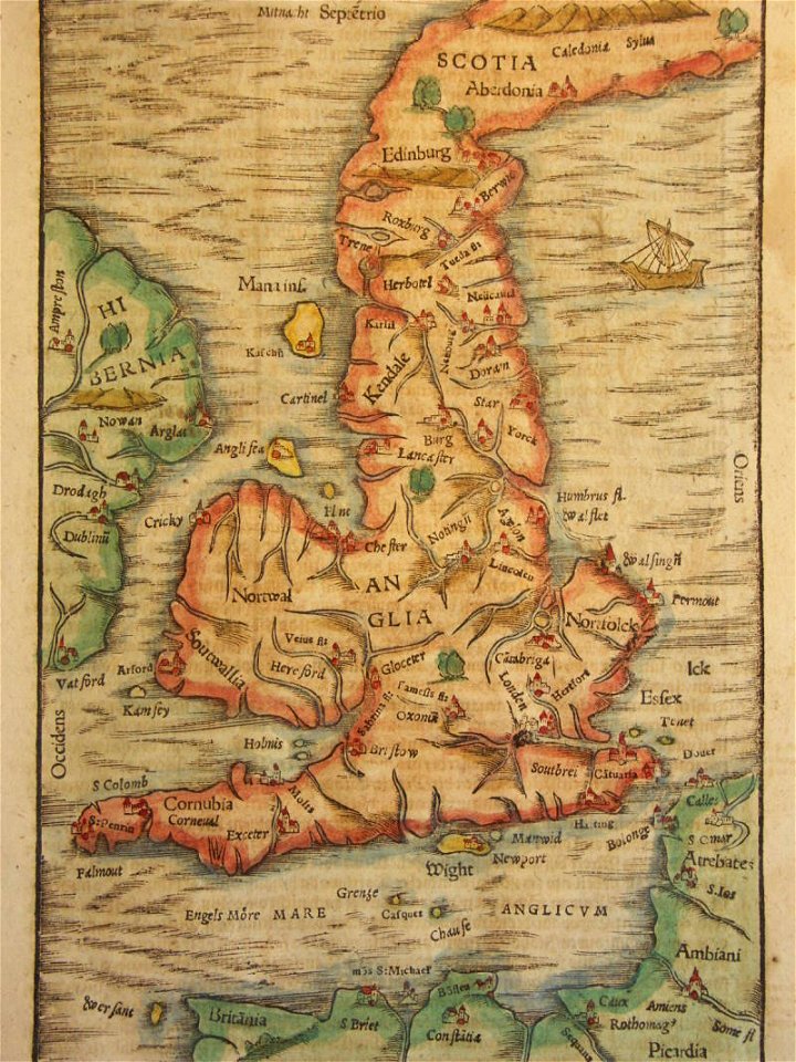
old maps of the british isles
description de l'universe
alain manesson-mallet
lower silesian voivodeship
old maps of silesia
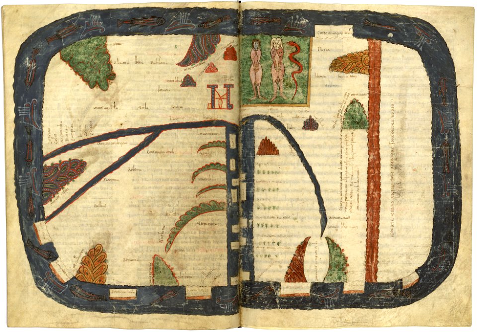
valcavado beatus
map of beatus
drawn by pen and pencil
greek pictures
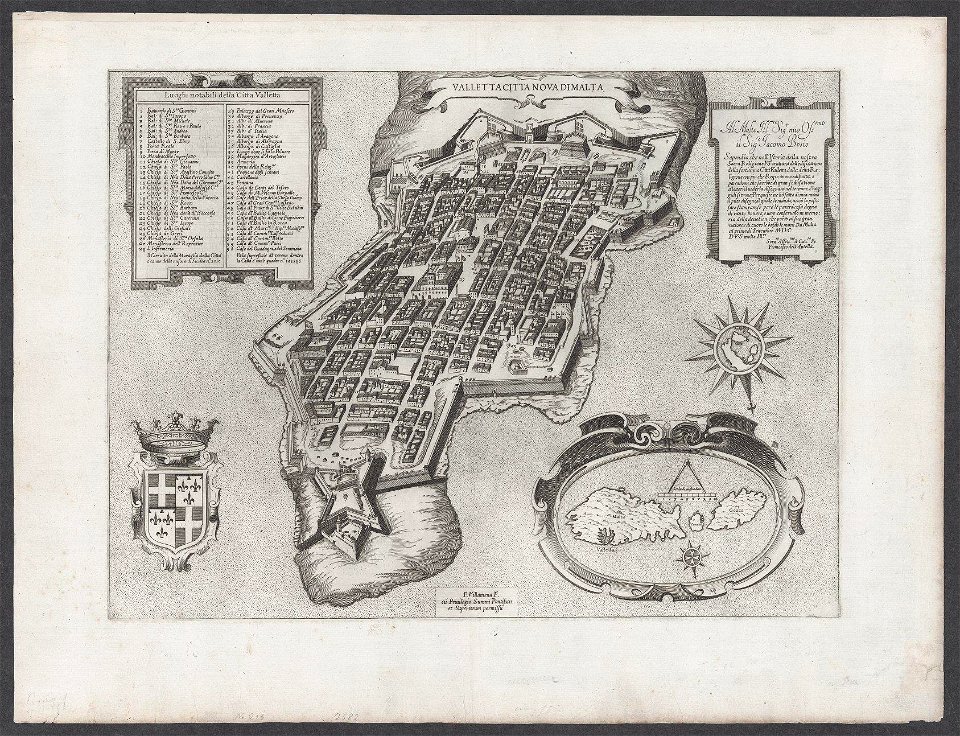
old maps of valletta
matthäus merian
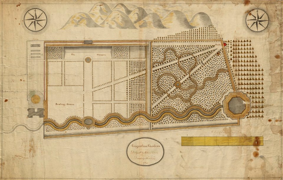
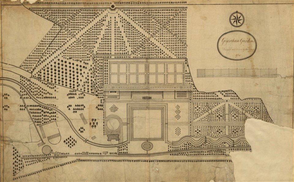
estate maps in the national library of wales
garden design
estate maps in the national library of wales
garden design
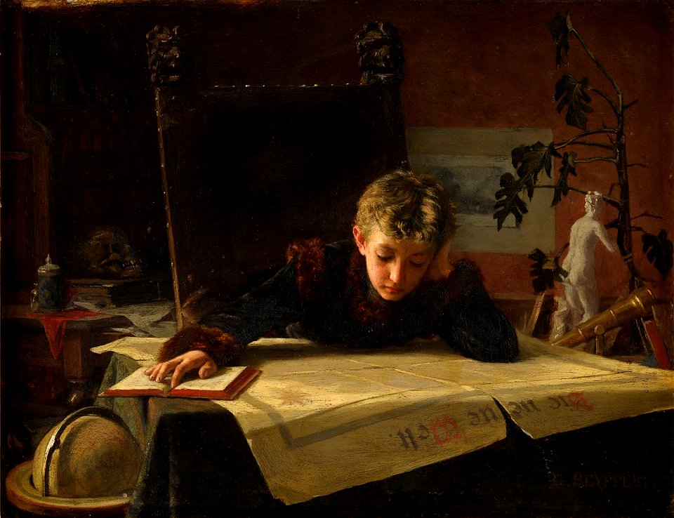
people with maps in art
oil paintings of boys
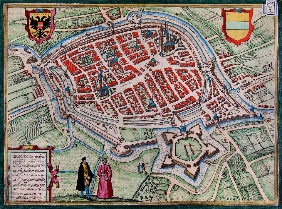
maps of groningen (city) by braun & hogenberg
great frisian war
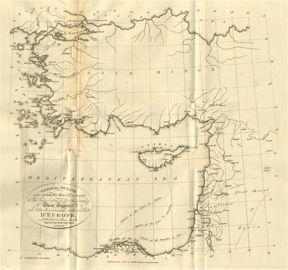
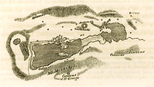
travels in sicily greece and albania
lake pamvotis
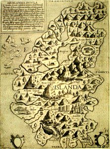
provided by landsbókasafn íslands
giovanni camocio
media in the houghton library
harvard university
travels in sicily greece and albania
maps of castello eurialo (syracuse)
bibliothèque municipale de reims
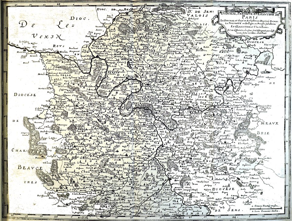
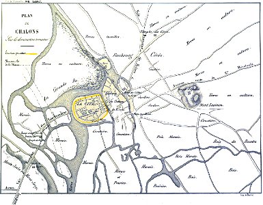
maps of châlons-en-champagne
popular science monthly illustrations/volume 32
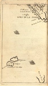
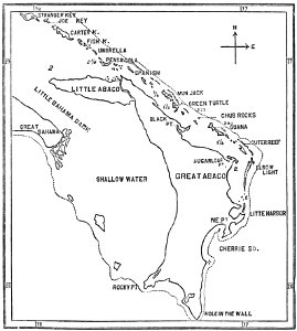
1880s maps of the bahamas
auberge de provence (valletta)
old maps of valletta
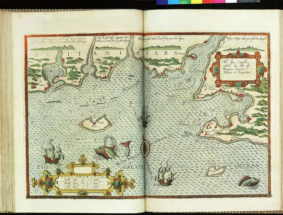
charts and maps of the royal museums greenwich
lucas janszoon waghenaer
charts and maps of the royal museums greenwich
lucas janszoon waghenaer
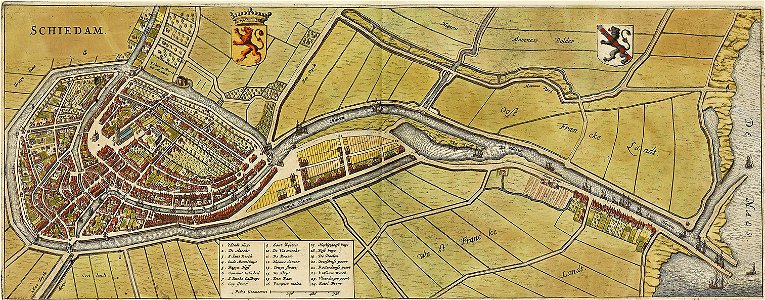
old maps of schiedam
atlas de wit 1698
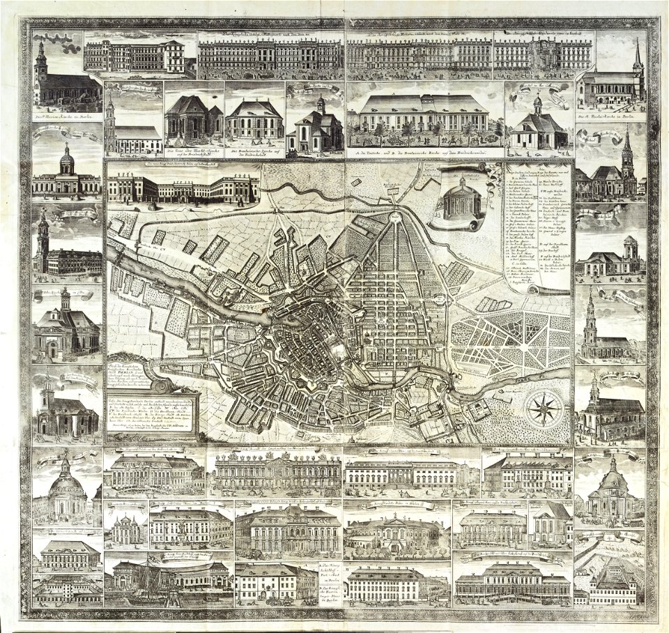
18th-century maps of berlin
johann david schleuen
prints in the teylers museum
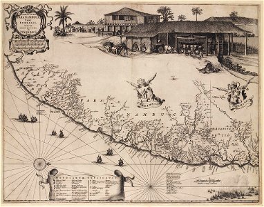
old maps of pernambuco
walter kaudern expedition to celebes
walter kaudern
walter kaudern expedition to celebes
walter kaudern
beschreibung der reise von konstanz nach jerusalem
old maps of corfu
beschreibung der reise von konstanz nach jerusalem
old maps of corfu
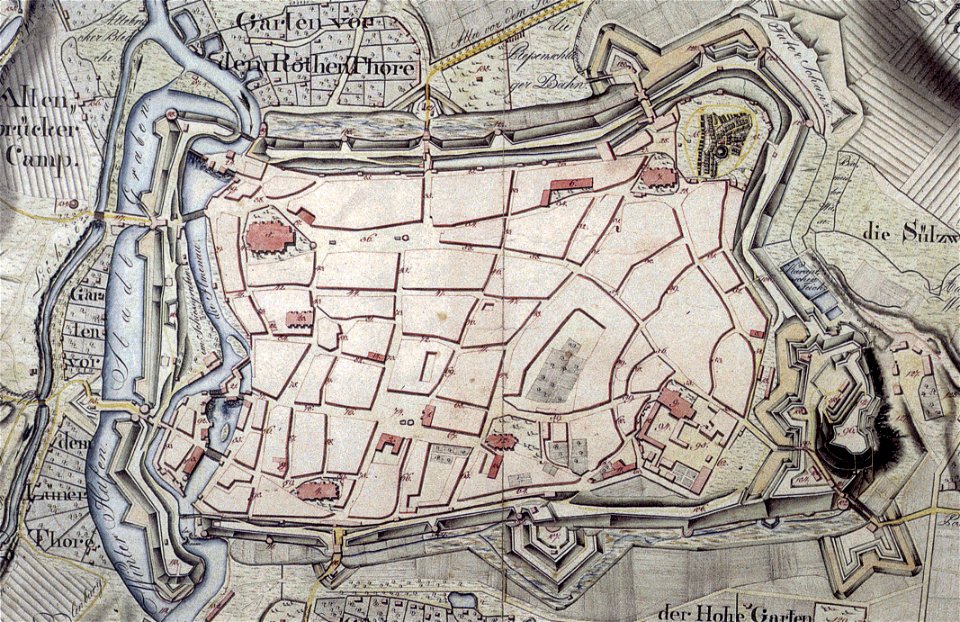
historical maps of lüneburg
1793
maps of yamaguchi prefecture
nagato province
bibliothèque municipale de reims
rès. g 153
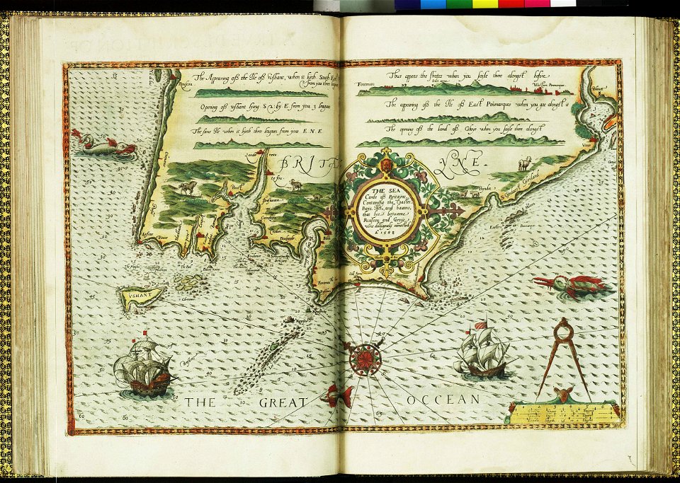
charts and maps of the royal museums greenwich
lucas janszoon waghenaer
charts and maps of the royal museums greenwich
lucas janszoon waghenaer
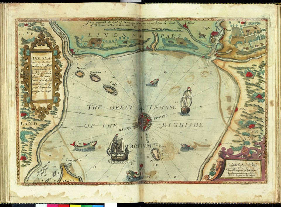
charts and maps of the royal museums greenwich
lucas janszoon waghenaer
charts and maps of the royal museums greenwich
lucas janszoon waghenaer
charts and maps of the royal museums greenwich
lucas janszoon waghenaer
description de l'universe
alain manesson-mallet
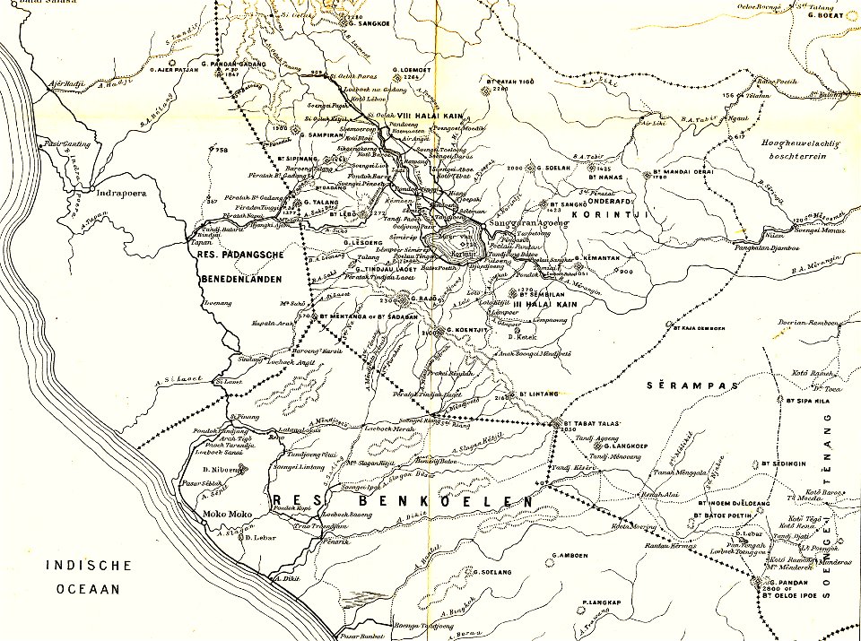
sumatra in the 1900s
old maps of sumatra
prints from the peace palace library
1770s maps of the world
pieter nason
baroque
walkways in manitoba
new sculpture
paintings by christian august lorentzen
neoclassicism
paintings after gilbert stuart
william edward west
figure paintings in the national palace museum
kublai khan
arthur phillip
sydney cove
braun & hogenberg
frans hogenberg
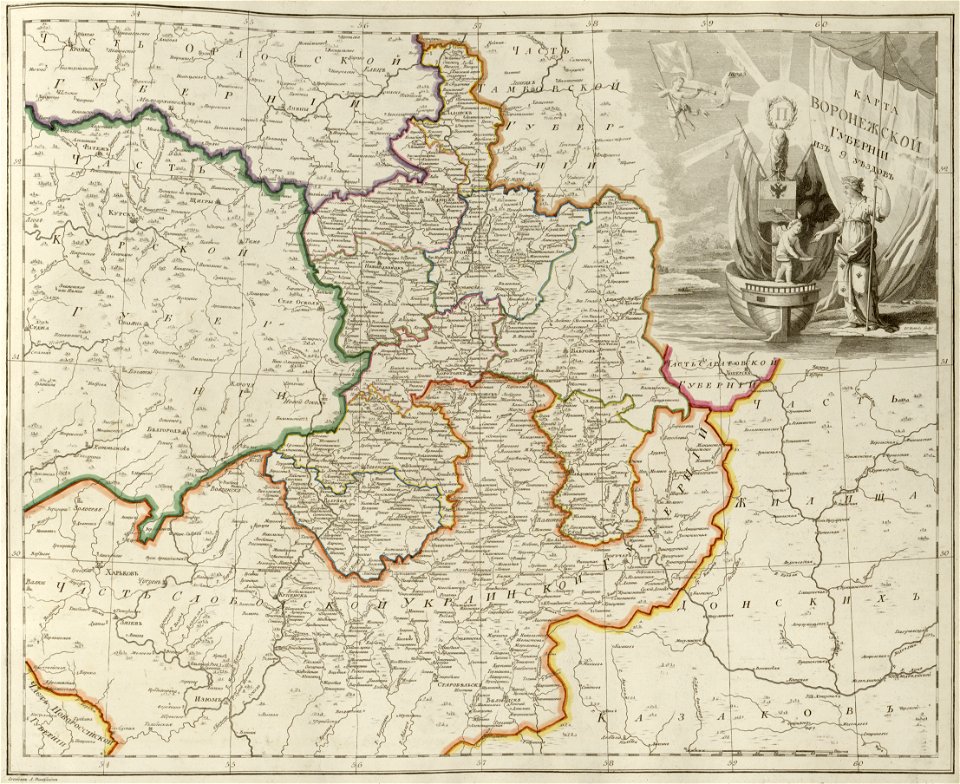
old maps of governorates of the russian empire
atlas of the russian empire (1800)
old maps of governorates of the russian empire
atlas of the russian empire (1800)
old maps of governorates of the russian empire
atlas of the russian empire (1800)
old maps of governorates of the russian empire
atlas of the russian empire (1800)
old maps of governorates of the russian empire
atlas of the russian empire (1800)
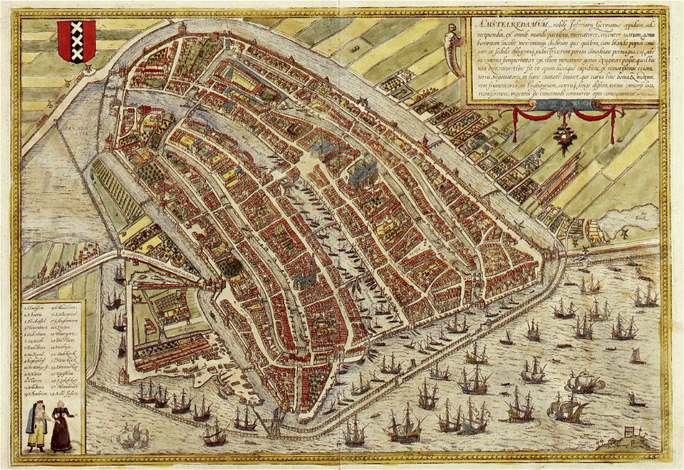
map of amsterdam by braun & hogenberg
coats of arms of amsterdam on maps
atlas of the russian empire (1792)
polack
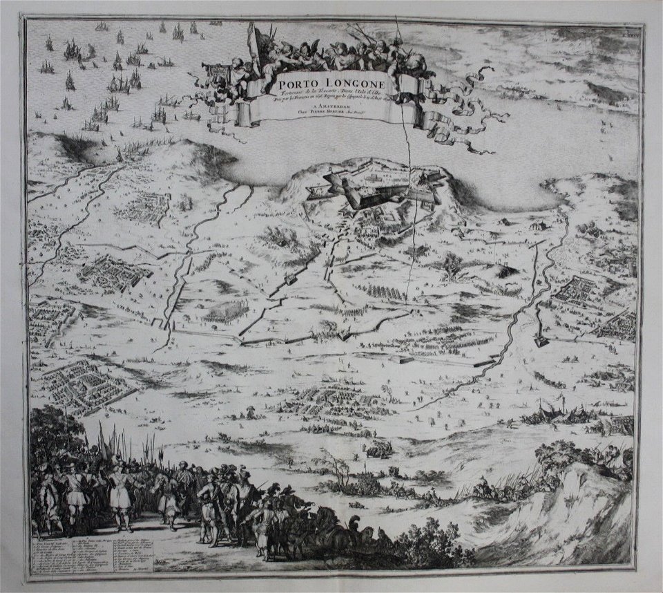
old maps of elba
pierre mortier
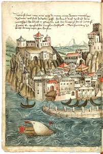
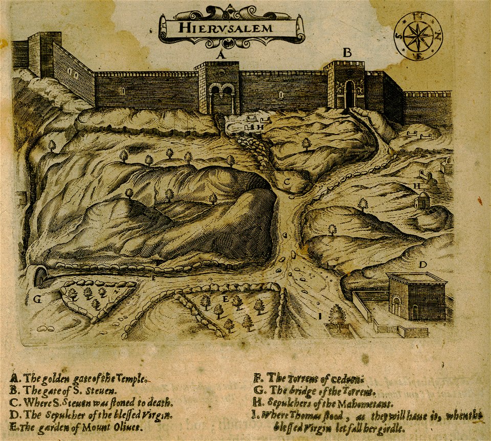
historical images of jerusalem
relation of a journey (sandys)
geographical illustrations by coronelli
history of the dodecanese
engravings of topographia bohemiae moraviae et silesiae
maps of the history of breslau (wrocław)
maps of the history of bashkortostan
atlas of the russian empire (1792)
paintings by charles howard hodges in the rijksmuseum amsterdam
male portrait paintings by charles howard hodges
portrait paintings of ernest augustus, king of hanover
portraits by george dawe
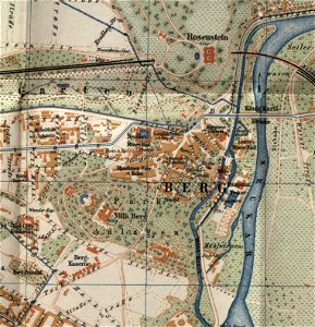
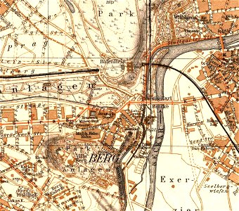
city maps with villa berg
city maps with villa berg
city maps with villa berg
7501 - 7600 of 1,095,938
Next page
/ 10960